

LAWTON – The Lawton Redistricting Commission is close to finishing its once-a-decade task of redrawing the city’s ward boundaries.
The commission voted 9-0 Dec. 16 to rescind its previously approved ward map, which was flawed because a small section of Ward 7 was accidentally included in Ward 2. At the same time, the commission endorsed a new map that fixed the mistake and approved a public notification period for the new map, which began Dec. 16 and runs through Jan. 6.
A public hearing, which will allow residents to weigh in on the proposed map, is set for 2 p.m. Jan. 12 in the City Hall Auditorium. The hearing will kick of a 10-day period before the commission can vote on adopting the new map, which will set the city’s ward boundaries for the next 10 years.
Redistricting
Every 10 years, the commission redraws Lawton’s voting boundaries to account for population shifts, guided by the most recent census data. Guided by the most recent census data, the commission must divide the city’s population among eight wards as evenly as possible, while preserving areas with common interests.
The population difference between the largest and smallest wards should not be higher than 10%, although a larger deviation is permitted if it helps the city reach the goal of balancing the number of people in each ward.
Lawton’s population has declined over the past decade from 83,375 in 2012 to 76,355 in 2020, according to City Hall. Wards 1, 2, 3, 5, 6, 7 and 8 shrank, while Ward 4 gained about 128 people.
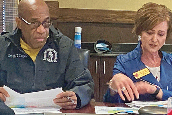
“If we kept the population in the current ward as it is, without any redistricting, we would have a deviation of almost 25 points,” said Planning Director Janet Smith. “And the laws that govern how we do redistricting say it should be 10 or below.”
She said city staff had prepared three different maps for the commission to consider. All three had a deviation of less than 10% between the smallest and largest wards.
Those maps were:
• Option A: This map featured a 9.3% deviation between the smallest and largest wards. City officials estimated that 86% of Lawton residents would remain in their current wards under Option A.
• Option B: This map included a 9.91% spread between the smallest and largest wards, which is still acceptable under the city’s guidelines. Approximately 84% of residents would stay in their current wards under this proposal.
• Option C: Like Option A, this map included a 9.3% difference between the smallest and largest wards. Approximately 83% of residents would stay in their current wards.
Smith said the map that the commission endorsed in November was very similar to Option A.
“We’ve cleaned up the errors that were in it and brought back Option A,” she said.
To view the current ward map, visit the city’s website: https:// www.lawtonok.gov/departments/city-council/ ward-map.